About Publications Library Archives
cthl.org

Preserving American Heritage & History
Preserving American Heritage & History

Media type: illustration
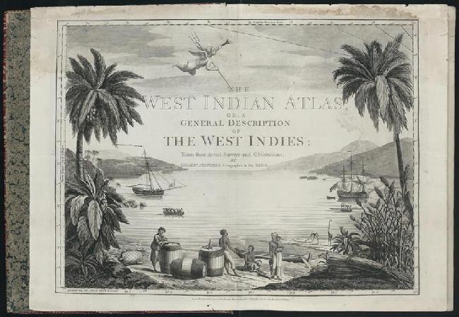
Annotation: This volume was the first comprehensive British atlas of Florida and the Caribbean. It includes the first large, detailed printed maps of a number of Caribbean islands, such as Antigua, St. Christopher, and Barbados. On many of these individual maps, the topography is rendered with particular skill. They provide unprecedented interior detail documenting the sugar industry, slave life, roads, trade routes, and even individual homes and estates. The atlas exemplifies the qualities that ushered in a period of dominance for British chartmaking related to the Americas.
Year: 1780